


63 km | 113 km-effort


Usuario


Aplicación GPS de excursión GRATIS
 SityTrail
IGN / Institutos geográficos
SityTrail World
El mundo es suyo
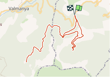
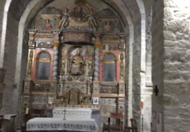
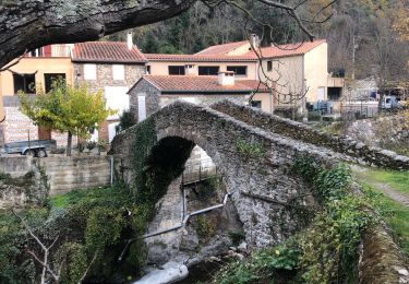
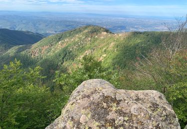
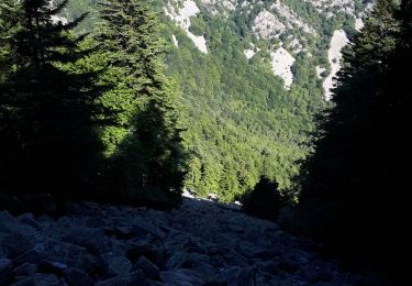
Ruta Senderismo de 13,2 km a descubrir en Occitania, Pirineos Orientales, La Bastide. Esta ruta ha sido propuesta por MarcOBRECHT.
Du col, monter par la piste en béton.
Arrivé sur ancienne voie chemin de fer, suivre voie . 100 m avant tunnel prendre à gauche et suivre balisage.
Au retour, même chemin mais, au lieu de descendre par la piste en béton, continuer par voie chemin de fer. A la barrière descendre par piste à Gauche
A pie

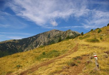
Senderismo
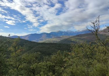
Senderismo

sport
Senderismo
Senderismo
Senderismo
Senderismo
Senderismo